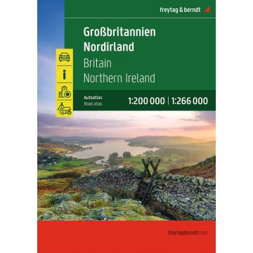
Großbritannien - Nordirland, Autoatlas 1:200.000 - 1:266.000, freytag & berndt
Straßenatlas mit Spiralbindung, Camping- und Stellplätze, Freizeitinfos
€24.90
incl. VAT
in stock
Delivery in 2 to 4 business days
Tags
Autoatlas Großbritannien - Nordirland 1:200.000 - 1:266.000Informationen zum Straßenatlas Großbritannien - Nordirland
Spiralbindung
Innenstadtpläne
- Großbritannien - Nordirland 1:200.000 - 1:266.000
- Spiralbindung
- Camping- und Stellplätze
- Touristische Informationen
- Ortsregister
- 64 Innenstadtpläne
- 328 Seiten, Format 22,5 x 29,7 cm
Spiralbindung
Innenstadtpläne
Weight:
998 g
Publisher:
Series:
Scale:
1:200000
EAN:
9783707924985
hoehe_mm:
297
breite_mm:
225
Year of publication:
2026
Continent: Europe
Country: United Kingdom (Great Britain)
State / Province: Northern Ireland
Region: Ulster
Write Your Own Review
Manufacturer
Name: KOMPASS Karten
Address: Karl-Kapferer-Str. 5, 6020 Innsbruck, Österreich
Email: info@kompass.at
Phone: +43 512 265561-10
Responsible for the EU
Name:
Address:
Email:
Phone:
Hazard warning: nicht erforderlich.
Product Type: