Hiking Maps


The Hiking Map - reliable companion on hikes
The be-all and end-all: route planning
A hiking tour should be well planned in advance. Good maps are essential when planning a route. With detailed and up-to-date cartography, the appropriate scale and useful information such as hiking trails, bike and mountain bike trails, mountain huts, viewpoints, sights and leisure facilities, you can prepare for your next adventure at the kitchen table at home or on vacation. The best way to calculate the walking time of a hike is with this formula. The publishers freytag & berndt, Alpenverein, BEV and many more offer up-to-date and accurate cartography for hiking.
Always with you, even when you're on the go
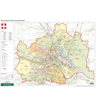
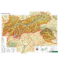
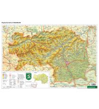
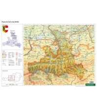
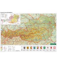
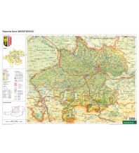
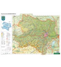
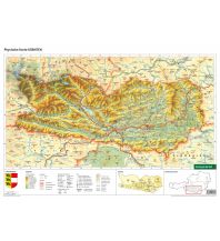
The right map material in a suitable scale
You will find the right map for every tour in our webshop. For example, if you want to do a rough tour planning first, but want to see the entire tour on one sheet of paper, a map with a smaller scale is suitable. On the tour itself, it is advisable to use a map with a larger scale, as the terrain, the hiking trails and other important information are shown in great detail. We took a closer look at the subject of scale in our magazine article "Orientation with the map - the scale".