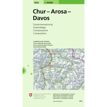
5002 Chur - Arosa - Davos
Zusammensetzung
€26.95
incl. VAT
currently out of stock
Delivery in 8 to 14 business days
Tags
The accurate and informative topographic map of Switzerland for hikers, alpinists, cyclists, planners, travelers and adventurers.
- Complete rail network, all freeways and highways, most of the roads and routes.
- Freeways, rest areas and major roads are labeled.
- Distinct representations of settled areas, hydrography, and terrain.
- Complete lettering of the shown objects.
Weight:
87 g
Publisher:
Series:
Scale:
1:50.000
Product Type:
Maps
EAN:
9783302050027
hoehe_mm:
190
breite_mm:
130
Year of publication:
2025
Continent: Europe
Country: Switzerland
State / Province: Graubünden, Canton of St. Gallen
Places / Mountains / Lakes: Davos, Lenzerheide, Chur, Klosters, Flüela Wisshorn, Arosa, Calanda, Ringelspitz, Schlappiner Joch, Vättis, Landquart, Thusis, Domat, Parpaner Rothorn, Flüelapass, Schiers, Stätzer Horn, Lantsch, Zizers, Bonaduz, Kunkelspass, Jenaz, Trimmis, Malans, langwies
Categories: Hiking Maps Switzerland, Hiking Maps
Write Your Own Review
Manufacturer
Name: Bundesamt für Landestopografie, swisstopo
Address: Seftigenstrasse 264, 3084 Wabern, Schweiz
Email: mapsales@swisstopo.ch
Phone: 41,584,690,111
Responsible for the EU
Name: Freytag-Berndt und Artaria KG
Address: Oelzeltgasse 3/10, 1030 Wien
Email: office@freytagberndt.com
Phone: +43 (1) 869 90 90
Hazard warning:
Product Type: