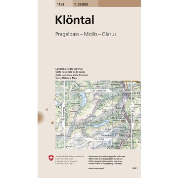
1153 Klöntal
Pragelpass - Mollis - Glarus
€13.95
incl. VAT
in stock
Delivery in 2 to 4 business days
Tags
The most accurate and detailed topographic map of Switzerland for hikers, alpinists, vacationers, individualists and adventurers.
- Complete and differentiated rail, road and route networks.
- Detailed representations of settled areas, hydrography, vegetation and terrain.
- Complete lettering of the shown objects.
Weight:
50 g
Publisher:
Series:
Scale:
1:25.000
Product Type:
Maps
Language:
English, French, German, Italian
EAN:
9783302011530
hoehe_mm:
190
breite_mm:
130
Year of publication:
2021
Continent: Europe
Country: Switzerland
State / Province: Canton of Glarus, Canton of Schwyz
Region: innerschweiz, Glarner Alpen
Categories: Hiking Maps Switzerland, Hiking Maps
Write Your Own Review
Manufacturer
Name: Bundesamt für Landestopografie, swisstopo
Address: Seftigenstrasse 264, 3084 Wabern, Schweiz
Email: mapsales@swisstopo.ch
Phone: 41,584,690,111
Responsible for the EU
Name: Freytag-Berndt und Artaria KG
Address: Oelzeltgasse 3/10, 1030 Wien
Email: office@freytagberndt.com
Phone: +43 (1) 869 90 90
Hazard warning:
Product Type:
