€22.90
incl. VAT
in stock
Delivery in 2 to 4 business days
Tags
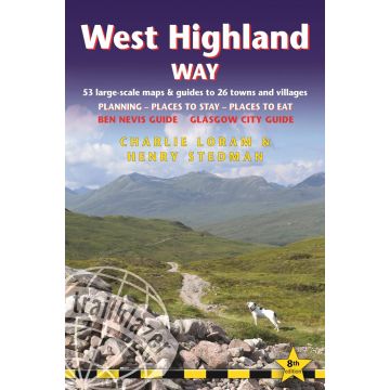
The West Highland Way passes through some of the most spectacular scenery in all of Britain. From the outskirts of Glasgow it winds for 95 miles (152km) along the wooded banks of Loch Lomond, across the wilderness of Rannoch Moor, over the mountains above Glencoe to a dramatic finish at the foot of Ben Nevis – Britain's highest mountain.
New 6th edition
Extra colour mapping, in stage sections (one stage per page) also including trail profiles showing the climbs and descents to help you plan your walk each day
16pp colour introductory section
57 maps – 4 town plans and 53 large-scale walking maps – at just under 1:20,000 – showing route times, gradients, where to stay, interesting features, fully-edited maps drawn by walkers for walkers. Plus downloadable GPS points.
Itineraries for all walkers – whether walking the route in its entirety over one week, or sampling the highlights on day walks and short breaks.
Practical information for all budgets – Glasgow through to Fort William: where to stay (campsites, hostels, B&Bs, pubs and hotels), where to eat, what to see.
Public transport information for all budgets – all access points on the path.
Fully updated - the entire route has been re-walked and all details re-checked for this new edition.
ISBN: 978-1-912716-01-2
7th edition
218 pages
67 maps
60 colour photos
Weight:
213 g
Author:
Charlie Loram, Henry Stedman
Publisher:
Product Type:
Books
Language:
English
EAN:
9781912716296
Pages:
218
Year of publication:
2022
Categories: Hiking Guides, Long Distance Hiking
Write Your Own Review
Manufacturer
Name:
Address:
Email:
Phone:
Responsible for the EU
Name:
Address:
Email:
Phone:
Hazard warning:
Product Type: