Tucked away between Rhodes and Kos lies the small tranquil island of Tilos. A network of old footpaths and a rich protected wildlife have made Tilos increasingly popular with hikers, nature-lovers and birdwatchers.
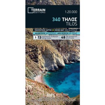
This hiking map of Tilos at the detailed scale of 1:20.000, accurately depicts all the island’s footpaths with point-to-point distances (a total of 48 km of trails). Also featured are 13 recommended hiking routes, ranging from short strolls to full-day hikes, which will take you to impressive old stoneways, abandoned villages, byzantine monasteries and quiet bays.
On the reverse side you will find extensive information on Tilos’ history, mythology, nature and the most important sights to see, and a detailed presentation of the 13 recommended hiking routes on the island. Also featured is a town plan of Livadia at 1:3.000, showing all accommodation, restaurants, sights and points of interest.