MARCO POLO Reiseatlas Großbritannien, Irland 300T
mit Europa 1:4,5 Mio.
Tags
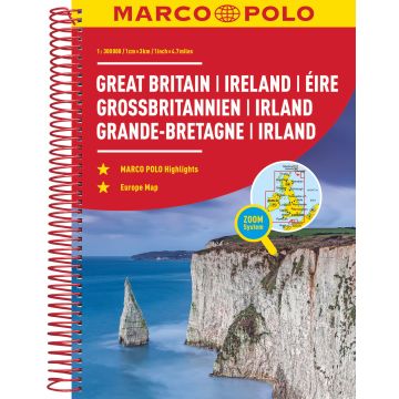
Der MARCO POLO Reiseatlas zeichnet sich durch moderne Kartographie aus und bildet Großbritannien und Irland im optimalen Maßstab 1:300 000 ab. Mit Highlights aus Kultur und Natur und landschaftlich schönen Strecken wird dein Roadtrip damit zum echten Erlebnis. Länder- und Reiseinformationen bewahren dich vor dem Knöllchen, und das praktischen Zoom-System bietet von der Europakarte bis zum Stadtplan immer das richtige Kartendetail, sowohl für die Planung als auch während der Fahrt.
Weight:
684 g
Series:
Scale:
1:300.000
Product Type:
Maps
Language:
German
EAN:
9783829736923
Year of publication:
2019
Continent: Europe
Country: Ireland, United Kingdom (Great Britain)
Categories: Travel, Road & Street Atlases
