€14.90
incl. VAT
in stock
Delivery in 2 to 4 business days
Tags
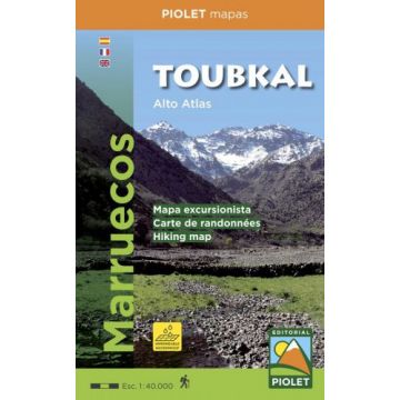
Most of the region shown on the map is within the limits of the Toubkal National Park. Due to its location, only 70 km away from the city Marrakech, it`s the most visited park in all of Morocco. Its a region with an exceptional natural and scenic heritage, in an area containing the highest mountains in northem Africa. This area is also home to a diverse collection of vegetation and animal life, as well as several human settlements inhabited by Berbers who live in harmony with their environment.
We recommend hiring a hiking guide to reach the región because of the treacherous topogragraphy, with numerous valleys and mountains, where it is dificult to navigate. A guide is also useul to facilitate communication wiht the native people.
Weight:
104 g
Publisher:
Scale:
1:40.000
Product Type:
Maps
Language:
English, French, Spanish
EAN:
9788494708022
Year of publication:
2017
Write Your Own Review
Manufacturer
Name:
Address:
Email:
Phone:
Responsible for the EU
Name:
Address:
Email:
Phone:
Hazard warning:
Product Type: