OS Landranger Map 172, Bristol & Bath 1:50.000
England
Tags
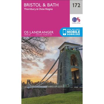
The Landranger map of Bristol & Bath, including Thornbury & Chew Magna, is a must-have when planning a trip to the area. Landranger maps are perfect for extensive hikes, cycling, and driving holidays.
Ideal for planning days out or holidays to Bath, a world heritage site and beautiful Georgian city on the River Avon. Other highlights of this map include Bristol, the Southern end of the Cotswolds Way and the Roman Baths — the highlight of the city of Bath.
Our Landranger maps come in standard or Weatherproof Active, you'll also receive a free download for your devices — making for a convenient companion.
Publisher:
Series:
Scale:
1:50.000
Product Type:
Maps
Language:
English
EAN:
9780319262702
Year of publication:
2021