The store will not work correctly when cookies are disabled.
JavaScript seems to be disabled in your browser. For the best experience on our site, be sure to turn on Javascript in your browser.
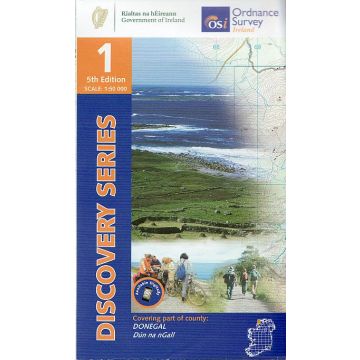
OSi Discovery Map 1, Donegal 1:50.000 OSi Discovery Map 1, Donegal 1:50.000
OSi Discovery Map 1, Donegal 1:50.000 €17.90
incl. VAT
in stock
Delivery in 2 to 4 business days
More from series: OSi Discovery Maps Please select OSi Discovery Map 05, Ballycastle 1:50.000 OSi Discovery Map 10, Donegal 1:50.000 OSi Discovery Map 11, Donegal 1:50.000 OSi Discovery Map 20, Craigavon 1:50.000 OSi Discovery Map 23, Mayo/Maigh Eo 1:50.000 OSi Discovery Map 25, Sligo, Leitrim, Roscommon 1:50.000 OSi Discovery Map 27, Upper Lough Erne 1:50.000 OSi Discovery Map 30, Mayo 1:50.000 OSi Discovery Map 31, Mayo 1:50.000 OSi Discovery Map 32, Mayo, Sligo, Roscommon 1:50.000 OSi Discovery Map 33, Leitrim, Longford, Roscommon, Sligo 1:50.000 OSi Discovery Map 35, Cavan, Louth, Meath, Monaghan 1:50.000 OSi Discovery Map 36, Armagh, Down, Louth, Meath, Monaghan 1:50.000 OSi Discovery Map 37, Galway 1:50.000 OSi Discovery Map 38, Galway, Mayo 1:50.000 OSi Discovery Map 40, Galway, Roscommon, Longford, Westmeath 1:50.000 OSi Discovery Map 41, Longford, Westmeath, Meath 1:50.000 OSi Discovery Map 42, Westmeath, Meath 1:50.000 OSi Discovery Map 43, Dublin, Louth, Meath 1:50.000 OSi Discovery Map 48, Offaly, Westmeath 1:50.000 OSi Discovery Map 49, Kildare, Offaly, Meath, Westmeath 1:50.000 OSi Discovery Map 52, Clare/An Clar, Galway/Gaillimh 1:50.000 OSi Discovery Map 54, Laois, Offaly, Tipperary 1:50.000 OSi Discovery Map 55, Kildare, Laois, Offaly, Wicklow 1:50.000 OSi Discovery Map 57, Clare/An Clár 1:50.000 OSi Discovery Map 58, Clare, Limerick, Tipperary 1:50.000 OSi Discovery Map 59, Clare, Tipperary, Offaly 1:50.000 OSi Discovery Map 6, Donegal, Tyrone 1:50.000 OSi Discovery Map 60, Kilkenny, Laois, Tipperary 1:50.000 OSi Discovery Map 61, Carlow, Kildare, Kilkenny, Laois, Wicklow 1:50.000 OSi Discovery Map 61, Carlow, Kildare, Kilkenny, Laois, Wicklow 1:50.000 OSi Discovery Map 65, Clare, Limerick, Tipperary 1:50.000 OSi Discovery Map 67, Kilkenny, Tipperary 1:50.000 OSi Discovery Map 69, Wexford 1:50.000 OSi Discovery Map 72, Cork, Kerry, Limerick 1:50.000 OSi Discovery Map 73, Cork, Limerick 1:50.000 OSi Discovery Map 75, Kilkenny, Tipperary, Waterford 1:50.000 OSi Discovery Map 76, Carlow, Kilkenny, Waterford, Wexford 1:50.000 OSi Discovery Map 77, Wexford 1:50.000 OSi Discovery Map 78, Kerry 1:50.000 OSi Discovery Map 81, Cork/Corcaigh, Waterford/Port Láirge 1:50.000 OSi Discovery Map 82, Waterford 1:50.000 OSi Discovery Map 86, Cork 1:50.000 OSi Discovery Map 87, Cork/Corcaigh 1:50.000 OSi Discovery Map 88, Cork/Corcaigh 1:50.000 Tags Karte Map Hiking Wandern Atlantik Wanderkarte Outdoor Éire ireland Atlantic Ocean Ordnance Survey OS-i Derrybeg dungloe Dún na nGall
Manufacturer Name:
Address:
Email:
Phone:
Responsible for the EU Name:
Address:
Email:
Phone:
No manufacturer information and safety instructions available yet. Other customers also bought
Follow us
4.9 based on 1514 reviews
Payment
Reviews
If you are a reseller, please contact our
Wholesale departement directly.
Austria + Germany T.
+43-1-869 90 90-800 sales.at@freytagberndt.com
When ordering through our webshop, end-customer prices are applied and a subsequent correction is unfortunately not possible.
freytag & berndt Sales Team