€12.95
incl. VAT
deliverable
Delivery in 8 to 14 business days
Tags
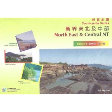
Topographische Wanderkarte Hong Kong Nordost inklusive Kurzbeschreibungen.
UTM-Gitter, geographisches Koordinatengitter, Höhenschichtlinien 20m, Legende chinesisch und englisch.
Topographic hiking map Hong Kong northeast including short descriptions.
UTM and geographic coordinate system, contour lines 20m, legend chinese and english.
Publisher:
Scale:
1:25.000
Product Type:
Maps
EAN:
9995021136108
Year of publication:
2003
Categories: Hiking Maps Asia
Write Your Own Review
Manufacturer
Name:
Address:
Email:
Phone:
Responsible for the EU
Name:
Address:
Email:
Phone:
Hazard warning:
Product Type: