Map of the Inland Waterways of Great Britain 1:25.000
€15.00
incl. VAT
in stock
Delivery in 2 to 4 business days
Tags
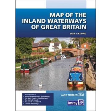
First published over 60 years ago when interest in reviving Britain’s network of navigable and rivers was starting to gather pace, this map provides the best coverage of the system in England, Wales and Scotland. Distances, the number of locks and restricting dimensions are given for each waterway. The simple cartography defines rivers, broad and narrow canals against generalized relief and the major road network.
The 2016 edition has been updated to show progress in restoration schemes and other changes.
Produktdetails:
EAN: 9781846238277
Auflage: 2016
Weight:
100 g
Publisher:
Series:
Scale:
1:25.000
Product Type:
Seekarten - plano
EAN:
9781846238277
Year of publication:
2016
Continent: Europe
Country: United Kingdom (Great Britain)
Write Your Own Review
Manufacturer
Name: FB Imray Laurie Norie & Wilson GmbH
Address: Ölzeltgasse 3/10, 1030 Wien, Österreich
Email: sales@imray.com
Phone:
Responsible for the EU
Name:
Address:
Email:
Phone:
Hazard warning:
Product Type: