The store will not work correctly when cookies are disabled.
JavaScript seems to be disabled in your browser. For the best experience on our site, be sure to turn on Javascript in your browser.
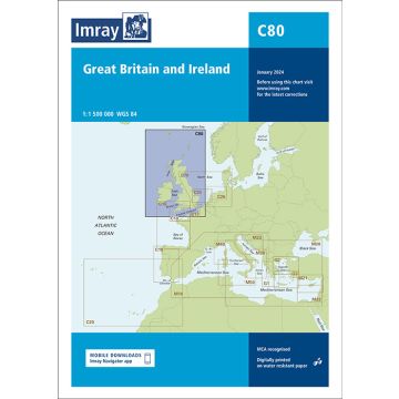
Imray Seekarte C80 - British Isles 1:1.500.000 Imray Seekarte C80 - British Isles 1:1.500.000
Imray Seekarte C80 - British Isles 1:1.500.000 €37.90
incl. VAT
in stock
Delivery in 4 to 7 business days
More from series: Imray C Series Please select C27 Firth of Forth, Imray Chart Harwich to Hoek van Holland and Dover Strait 1:200.000 Harwich to Whitby 1:285.000 Imray C37 Seekarte - Raz de Sein to Benode 1:80.000 IMRAY Chart C23 - Fife Ness to Moray Firth 1:250,000 Imray Chart C26, IJmuiden to Die Elbe 1:345.000 IMRAY Chart C40 - Le Croisic to Les Sables d'Olonne 1:110.000 IMRAY Chart C41 - Les Sables d'Olonne to La Gironde 1:110.000 IMRAY Chart C49 - Ria de Aveiro to Sines 1:350.000 IMRAY Chart C61 - St George's Channel 1:280.000 IMRAY Chart C62 - Irish Sea 1:280.000 Imray Seekarte C18 - Western Approaches to the English Channel & Bay of Biscay 1:1.000.000 Imray Seekarte C20 - Strait of Gibraltar to Archipélago dos Açores & Islas Canarias 1:2.500.000 Imray Seekarte C32 - Baie de Seine 1:155.000 Imray Seekarte C42 - La Rochelle to Santander 1:350.000 Imray Seekarte C48 - A Coruna to Porto 1:350.000 Imray Seekarte Chart C36 Frankreich- Île d'Ouessant to Raz de Seine 1:80.000 Imray Seekarte Schottland - C65 Crinan to Mallaig and Barra 1:155.000 Southern North Sea Passage Chart 1:900.000 The Solent Tags Nordsee Vereinigtes Königreich Shetland Islands Great Britain United Kingdom Orkney Islands Atlantik Scotland Nordatlantik France North Sea nordfrankreich Hauts-de-France Seekarte cymru Éire ireland English Channel Irish Sea Northern Ireland Northern England Southern England Segeln La Manche Caerdydd nautical Chart North Atlantic Ocean Britische Inseln Chart Nautical Nautic Approach Mooring
Manufacturer Name: FB Imray Laurie Norie & Wilson GmbH
Address: Ölzeltgasse 3/10, 1030 Wien, Österreich
Phone:
Responsible for the EU Name:
Address:
Email:
Phone:
No manufacturer information and safety instructions available yet.
Follow us
4.9 based on 1518 reviews
Payment
Reviews
If you are a reseller, please contact our
Wholesale departement directly.
Austria + Germany T.
+43-1-869 90 90-800 sales.at@freytagberndt.com
When ordering through our webshop, end-customer prices are applied and a subsequent correction is unfortunately not possible.
freytag & berndt Sales Team