Imray Chart Pack 2500 - Channel Island and Adjacent Coast of France
€77.90
incl. VAT
in stock
Delivery in 2 to 4 business days
Tags
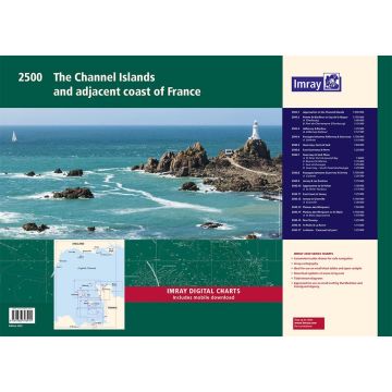
A convenient A2 format chart pack of the Channel Islands and the adjacent coast of France in a sturdy plastic wallet. This fully revised edition includes the latest official UKHO data, combined with additional information sourced from Imray's network to make it ideal for small craft. The chart pack includes all the navigational charts and tidal data for passage, approach and mooring. This edition has been reschemed to show passage from as far east as Saint-Vaast-la-Hougue and Barfleur. The harbour plan of Port de Chantereyne (Cherbourg) has been extended so show greater approach detail. There has been general updating throughout. This product is also available wiro bound, see stock code IC2500-4W. Includes: 2500.1 Approaches to the Channel Islands 1: 500 000 WGS 84 2500.2 Pointe de Barfleur to Cap de la Hague 1: 155 000 WGS 84 Plans Cherbourg (1:40 000), Port de Chantereyne (Cherbourg) (1:10 000) 2500.3 Alderney & Burhou 1: 25 000 WGS 84 Plan Alderney Harbour (1:12 500) 2500.4 Passages Between Alderney & Guernsey 1: 150 000 WGS 84 Plan Diélette (1:15 000) 2500.5 Guernsey, Herm & Sark 1: 60 000 WGS 84 2500.6 East Guernsey & Herm 1: 25 000 WGS 84 2500.7 Guernsey & Sark Plans 1: various WGS 84 Plans St Peter Port & Havelet Bay (1:6000), Beaucette Marina (1:10 000), Sark Anchorages (1:25 000), Guernsey - South Coast Anchorages (1:25 000) 2500.8 Passages between Guernsey & Jersey 1: 150 000 WGS 84 Plan Carteret (1:22 500) 2500.9 Jersey & Les Écrehou 1: 75 000 WGS 84 2500.10 Approaches to St Helier 1: 30 000 WGS 84 Plan St Helier Harbour (1:15 000) 2500.11 East Coast of Jersey 1: 25 000 WGS 84 2500.12 Jersey to Granville 1: 150 000 WGS 84 Plan Granville (1:30 000) 2500.13 Plateau des Minquiers 1: 50 000 WGS 84 2500.14 Plateau des Minquiers to St-Malo 1: 150 000 WGS 84 Plan St-Malo Approaches (1:55 000) 2500.15 Îles Chausey 1: 25 000 WGS 84 2500.16 St-Malo & La Rance 1: 15 000 WGS 84 2500.17 La Rance - Cancaval to Lyvet 1: 25 000 WGS 84
Weight:
350 g
Publisher:
EAN:
9781786793911
hoehe_mm:
4200
breite_mm:
5900
Year of publication:
2022
Write Your Own Review
Manufacturer
Name: FB Imray Laurie Norie & Wilson GmbH
Address: Ölzeltgasse 3/10, 1030 Wien, Österreich
Email: sales@imray.com
Phone:
Responsible for the EU
Name:
Address:
Email:
Phone:
Hazard warning:
Product Type: