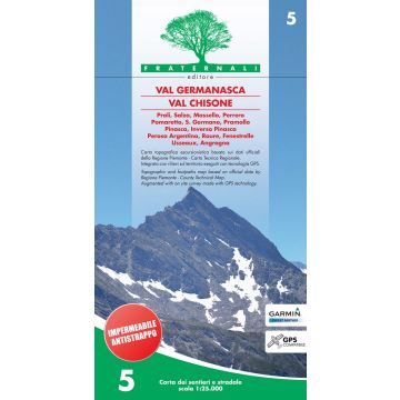
Fraternali-Wanderkarte 5, Val Germanasca, Val Chisone 1:25.000
Piemont
€14.90
incl. VAT
currently out of stock
Delivery in 8 to 14 business days
Tags
Hier geht's zum interaktiven Blattschnitt der Fraternali-Wanderkarten im Maßstab 1:25.000!
Waterproof and tear-resistant For the realization of this paper map, hundreds of km has been walked on streets and paths, recording routes with gps technology. This job technique allows us to obtain a precise collocation of all the useful elements for a hiker. The paper is based on the creation of a complete geographic database, organized on the GIS software with the following levels: Excursional information (shelters, bivouacs, unwatched refuges, climbing walls, equipped areas, places of interest, routes fitted, dangerous passages, etc..) Cartographic legends and general information ( entirely translated in English, French, German) Specific elements such us fountains, piles, crosses, access restrictions, caves etc. Ski-alpine runs mountain bike runs Primary and secondary path network Designation of paths and excursional routes. Complete road network. Land typology (Woodlands, glaciers, stony grounds etc.) Lakes, rivers, canals National, regional, provincial, local borders, national parks Curves of 50m, 10m, 5m equidistance Buildings, industries, churches, cemeteries Military buildings, fortifications Complete toponymy Railway stations, highway exits Big Bench This paper has also a metric grid shown in a frame according the UTM WGS84 projection.
Waterproof and tear-resistant For the realization of this paper map, hundreds of km has been walked on streets and paths, recording routes with gps technology. This job technique allows us to obtain a precise collocation of all the useful elements for a hiker. The paper is based on the creation of a complete geographic database, organized on the GIS software with the following levels: Excursional information (shelters, bivouacs, unwatched refuges, climbing walls, equipped areas, places of interest, routes fitted, dangerous passages, etc..) Cartographic legends and general information ( entirely translated in English, French, German) Specific elements such us fountains, piles, crosses, access restrictions, caves etc. Ski-alpine runs mountain bike runs Primary and secondary path network Designation of paths and excursional routes. Complete road network. Land typology (Woodlands, glaciers, stony grounds etc.) Lakes, rivers, canals National, regional, provincial, local borders, national parks Curves of 50m, 10m, 5m equidistance Buildings, industries, churches, cemeteries Military buildings, fortifications Complete toponymy Railway stations, highway exits Big Bench This paper has also a metric grid shown in a frame according the UTM WGS84 projection.
Weight:
101 g
Publisher:
Series:
Scale:
1:25.000
Product Type:
Maps
Language:
English, French, German, Italian
EAN:
9788890278488
Year of publication:
2019
Write Your Own Review
Manufacturer
Name:
Address:
Email:
Phone:
Responsible for the EU
Name:
Address:
Email:
Phone:
Hazard warning:
Product Type: