The store will not work correctly when cookies are disabled.
JavaScript seems to be disabled in your browser. For the best experience on our site, be sure to turn on Javascript in your browser.
€13.95
incl. VAT
currently out of stock
Delivery in 8 to 14 business days
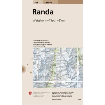
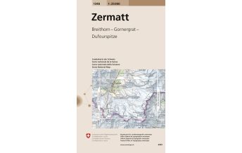
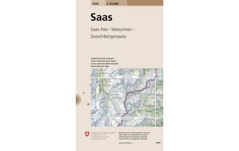
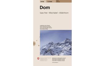
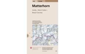
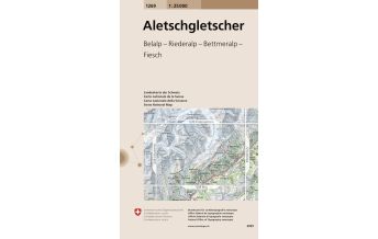
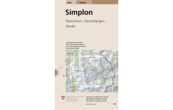
More from series: swisstopo 1:25.000 Please select 1011 Beggingen 1012 Singen 1047 Basel 1048 Rheinfelden 1049 Laufenburg 1050 Bad Zurzach 1064 Montbéliard 1065 Bonfol 1066 Rodersdorf 1067 Arlesheim 1068 Sissach 1069 Frick 1070 Baden 1072 Winterthur 1073 Wil 1075 Rorschach 1076 St. Margrethen 1085 St-UIrsanne 1086 Delémont 1087 Passwang 1088 Hauenstein 1089 Aarau 1090 Wohlen 1095 Gais 1096 Diepoldsau 1105 Bellelay 1106 Moutier 1108 Murgenthal 1109 Schöftland 1110 Hitzkirch 1115 Säntis 1116 Feldkirch 1123 Le Russey 1124 Les Bois 1126 Büren an der Aare 1128 Langenthal 1129 Sursee 1133 Linthebene 1134 Walensee 1135 Buchs 1136 Drei Schwestern 1143 Le Locle 1145 Bielersee 1146 Lyss 1148 Sumiswald 1149 Wolhusen 1151 Rigi 1152 Ibergeregg 1154 Spitzmeilen 1155 Sargans 1156 Schesaplana 1157 Sulzfluh 1159 Ischgl 1164 Neuchâtel 1165 Murten 1166 Bern 1167 Worb 1168 Langnau i. E. 1170 Alpnach 1171 Beckenried 1173 Linthal 1174 Elm 1175 Vättis 1176 Schiers 1177 Serneus 1178 Gross Litzner 1179 Samnaun 1185 Fribourg 1186 Schwarzenburg 1188 Eggiwil 1189 Sörenberg 1191 Engelberg 1192 Schächental 1193 Tödi 1194 Flims 1195 Reichenau 1196 Arosa 1197 Davos 1198 Silvretta 1199 Scuol 1199bis Piz Lad 1201 Mouthe 1202 Orbe 1203 Yverdon-les-Bains 1204 Romont 1206 Guggisberg 1207 Thun 1208 Beatenberg 1209 Brienz 1210 Innertkirchen 1211 Meiental 1212 Amsteg 1213 Trun 1214 Ilanz 1215 Thusis 1216 Filisur 1217 Scalettapass 1219 S-charl 1219bis Glurns/Glorenza 1221 Le Sentier 1226 Boltigen 1227 Niesen 1228 Lauterbrunnen 1229 Grindelwald 1230 Guttannen 1231 Urseren 1232 Oberalppass 1233 Greina 1234 Vals 1235 Andeer 1236 Savognin 1237 Albulapass 1238 Piz Quattervals 1239 Sta. Maria 1239bis Müstair 1240 Les Rousses 1241 Marchairuz 1243 Lausanne 1245 Château-d'Oex 1246 Zweisimmen 1247 Adelboden 1248 Mürren 1249 Finsteraarhorn 1250 Ulrichen 1251 Val Bedretto 1252 Ambri-Piotta 1253 Olivone 1254 Hinterrhein 1255 Splügenpass 1256 Bivio 1257 St. Moritz 1258 La Stretta 1260 Col de la Faucille 1261 Nyon 1264 Montreux 1265 Les Mosses 1266 Lenk 1267 Gemmi 1268 Lötschental 1269 Aletschgletscher 1270 Binntal 1271 Basòdino 1272 Pizzo Campo Tencia 1273 Biasca 1274 Mesocco 1275 Campodolcino 1276 Val Bregaglia 1278 La Rösa 1281 Coppet 1284 Monthey 1285 Les Diablerets 1286 St-Léonard 1287 Sierre 1288 Raron 1289 Brig 1290 Helsenhorn 1291 Bosco/Gurin 1292 Maggia 1293 Osogna 1294 Grono 1296 Sciora 1298 Lago di Poschiavo 1300 Chancy 1301 Genève 1304 Val-d'Illiez 1305 Dent de Morcles 1306 Sion 1307 Vissoie 1308 St. Niklaus 1309 Simplon 1311 Comologno 1312 Locarno 1313 Bellinzona 1314 Passo San Jorio 1324 Barberine 1325 Sembrancher 1326 Rosablanche 1327 Evolène 1329 Saas 1332 Brissago 1333 Tesserete 1334 Porlezza 1344 Col de Balme 1345 Orsières 1346 Chanrion 1347 Matterhorn 1348 Zermatt 1349 Monte Moro 1352 Luino 1353 Lugano 1365 Gd-St-Bernard 1366 Mont Vélan 1373 Mendrisio 1374 Como Landeskarte der Schweiz 1218, Zernez 1:25.000 Landeskarte der Schweiz 1277, Piz Bernina 1:25.000 Landeskarte der Schweiz 2514, Säntis, Churfirsten 1:25.000 Tags Karte Map Hiking Wandern Wanderungen Wanderwege topografisch Wanderkarte suisse svizzera Switzerland Bergsteigen Outdoor valais Schweizer Alpen Bergtouren mountaineering Hochtouren Westalpen Dom 4000er Hochtourenkarte Viertausender weisshorn hochtourengehen Randa alpinism LKS 1328 1328 Allalinhorn Alphubel Balfrin Bishorn Bösentrift Herbriggen Nadelhorn Täsch Täschhorn
Manufacturer Name: Bundesamt für Landestopografie, swisstopo
Address: Seftigenstrasse 264, 3084 Wabern, Schweiz
Phone: 41,584,690,111
Responsible for the EU Name: Freytag-Berndt und Artaria KG
Address: Oelzeltgasse 3/10, 1030 Wien
Phone: +43 (1) 869 90 90
No manufacturer information and safety instructions available yet. Other customers also bought
Follow us
4.9 based on 1515 reviews
Payment
Reviews
If you are a reseller, please contact our
Wholesale departement directly.
Austria + Germany T.
+43-1-869 90 90-800 sales.at@freytagberndt.com
When ordering through our webshop, end-customer prices are applied and a subsequent correction is unfortunately not possible.
freytag & berndt Sales Team