West Highland Way 1:40.000
Scotland's Great Trails
€ 23,90
inkl. MwSt.
derzeit nicht auf Lager
Lieferung in 3 bis 4 Wochen
Tags
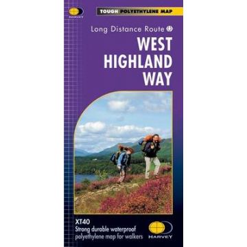
Wanderkarte entlang des West Highland Way in Schottland im Maßstab 1:40.000, englische Beschreibung, Legende in deutsch und französisch;
This map covers all the West Highland Way it is 153km (95 miles) from Milngavie, near Glasgow to Fort William. The map is arranged in panels so that at any one time you only have to have the part you need open. It is supplied folded in a plastic pocket. The map shows the detail you need for navigation. There is a full key and scale bar. Information on planning your trip, accommodation, useful telephone numbers and websites, travel, and tips are all included.
Gewicht:
38 g
Verlag:
Maßstab:
1:40.000
Medienart:
Karten
Sprache:
Englisch
EAN:
9781851374588
Erscheinungsjahr:
2023
Schreibe deine eigene Bewertung
Hersteller
Name:
Adresse:
E-Mail-Adresse:
Telefonnummer:
Verantwortlich für die EU
Name:
Adresse:
E-Mail-Adresse:
Telefonnummer:
Gefahrenhinweis:
Produktart:
