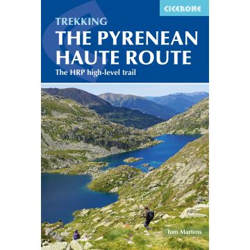
There are three main trekking routes across the Pyrenees from coast to coast: of these, the Pyrenean Haute Route (or HRP for Haute Route Pyrénéenne) is the most challenging - and arguably, the most spectacular. Unlike the GR10 and GR11, it is not waymarked and borders on mountaineering at times, sticking as closely as possible to the main ridge. It stretches 750km from the Atlantic resort of Hendaye to Banyuls-sur-Mer on the Mediterranean, crossing the French-Spanish border many times on its traverse. The hike calls for experience, navigational competence and self-reliance, but offers rich rewards as you pass through some of the most stunning landscapes the region has to offer.
This guide presents the Pyrenean Haute Route in 44 day stages, which are divided between five sections: since each section starts and finishes at a location accessible by public transport, they can be walked individually if you don't have a spare month-and-a-half for a complete thru-hike. Although the route offers excellent opportunities for wild camping, each stage finishes at a mountain hut or village, meaning that you can sleep under a roof every night if you prefer. Clear route description is accompanied by 1:100,000 mapping. There are bad weather variants and alternatives to avoid the most technical sections, and the guide also includes optional ascents of 10 classic summits, including Vignemale, Pic du Taillon and the highest peak in the Pyrenees, Pico de Aneto. You'll also find helpful advice on travel to and from the route, equipment and safety.
From the rolling green foothills of the Basque Country to High Pyrenean landscapes of aquamarine lakes nestled among 3000m peaks, the scenery is as varied as it is beautiful. Highlights include the karst terrain of Pic d'Anie, the Ossoue glacier, Lac de Mar in the picturesque Val d'Aran and the dramatic Cirque de Gavarnie with its towering cascade.
A guidebook to trekking the 748km (465 mile) Pyrenean Haute Route (Haute Randonnée Pyrénéenne, HRP) along the France–Spain border. Suitable for fit experienced trekkers comfortable with mountainous terrain, this challenging unwaymarked route traverses the Pyrenees from sea to sea, from Hendaye on the Atlantic Coast to Banyuls-sur-Mer on the Mediterranean, with the aim of staying as high as possible.
The PHR is divided into 44 graded stages of 8 to 28km (5–17 miles), nearly all ending at overnight accommodation. These are presented in 5 sections, which can be accessed by public transport, for the benefit of those wishing to trek only part of the route. Also included are optional ascents of 10 classic summits, including Vignemale, Le Taillon and Pico de Aneto.
1:100,000 mapping and elevation profile provided for each stage
GPX files available for download
Handy route summary and facilities tables help you plan your itinerary
Accommodation and facilities
Advice on planning and preparation, including equipment, supplies and safety considerations
Bei Bestellung über unseren Webshop kommen ausschließlich Endkundenpreise zur Anwendung und eine nachträgliche Korrektur ist leider nicht möglich.
Ihr Team von freytag & berndt