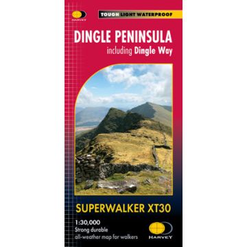
Superwalker Map XT30, Dingle Peninsula 1:30.000
Irische Westküste
€ 22,90
inkl. MwSt.
derzeit nicht auf Lager
Lieferung in 6 bis 10 Wochen
Tags
The whole of the Dingle Peninsula on one lightweight, waterproof map at the popular 1:30.000 scale.
Includes Mount Brandon and the entire Brandon Group of mountains in the west of the Peninsula.
To the east, the Slieve Mish mountains are also shown.
The map also shows the Dingle Way - a 179km long distance walking route around the edge of the Peninsula that starts and finishes in Tralee. The route is highlighted in red.
The Blasket Islands are also shown at 1:50.000 scale. Popular for day trips, these uninhabited islands are the most westerly point of Europe.
Placenames in English and Gaeilge / Gaelic.
Archaeological sites and walls and fences in farmland are clearly marked.
- Scale: 1:30.000
- Ratio: 3.33cm = 1km
- Flat size: 1392 x 486mm
- Folded size: 116 x 243mm
- Weight: 60gms
- Area of mapping: 1074sqkm
- Double sided
Gewicht:
72 g
Verlag:
Reihe:
Maßstab:
1:30.000
Medienart:
Karten
Sprache:
Englisch
EAN:
9781851376704
Höhe in mm:
243
Breite in mm:
116
Höhe in mm offen:
486
Breite in mm offen:
116
Erscheinungsjahr:
2023
Schreibe deine eigene Bewertung
Hersteller
Name:
Adresse:
E-Mail-Adresse:
Telefonnummer:
Verantwortlich für die EU
Name:
Adresse:
E-Mail-Adresse:
Telefonnummer:
Gefahrenhinweis:
Produktart: