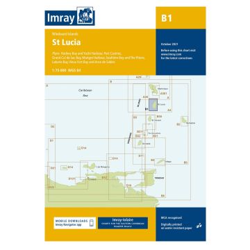
St Lucia 1:75.000
1:75.000
€ 31,90
inkl. MwSt.
lagernd
Lieferung in 2 bis 4 Werktagen
Tags
Plans included:
Rodney Bay and Yacht Harbour (1:25 000)
Port Castries (1:12 500)
Grand Cul de Sac Bay (1:15 000)
Marigot Harbour (1:7500)
Soufrière Bay and The Pitons (1:40 000)
Laborie Bay (1:20 000)
Vieux Fort Bay and Anse de Sables (1:20 000)
Imray-Iolaire charts for Caribbean are widely acknowledged as the best available for the cruising sailor. They combine the latest official survey data with first-hand information gathered over 60 years of research by Don Street Jr and his wide network of contributors. Like all Imray charts, they are printed on water resistant Pretex paper for durability, and they include many anchorages, facilities and inlets not included on official charts.
This edition includes the latest official data combined with additional information sourced from Imray's network to make it ideal for small craft. It includes the latest official bathymetric surveys. There has been general updating throughout.
Gewicht:
100 g
Maßstab:
1:75.000
EAN:
9781786793119
Höhe in mm:
3320
Breite in mm:
2350
Erscheinungsjahr:
2021
Schreibe deine eigene Bewertung
Hersteller
Name: FB Imray Laurie Norie & Wilson GmbH
Adresse: Ölzeltgasse 3/10, 1030 Wien, Österreich
E-Mail-Adresse: sales@imray.com
Telefonnummer:
Verantwortlich für die EU
Name:
Adresse:
E-Mail-Adresse:
Telefonnummer:
Gefahrenhinweis:
Produktart: