€ 24,90
inkl. MwSt.
derzeit nicht auf Lager
Lieferung in 3 bis 4 Wochen
Tags
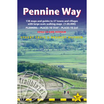
The Pennine Way, Britain’s best-known National Trail, winds for 253* miles (407.5 km) over wild moorland and through quiet dales following the backbone of northern England. Crossing three national parks – the Peak District, Yorkshire Dales and Northumberland – this superb footpath showcases Britain’s finest upland scenery, while touching the literary landscape of the Brontë family and Roman history along Hadrian’s Wall.
- 268 miles (431km) including optional side routes
- GPS waypoints for this route can be found in the 'GPS waypoints' section. GPS waypoints in the book now include what3words references
- Practical information for all budgets – what to see, where to eat, where to stay: B&Bs, hotels, campsites, bunkhouses, bothies, hostels, pubs
- Itineraries for all walkers – whether hiking the entire route or sampling highlights on day walks or short breaks. Detailed public transport information for all access points
- Includes 138 detailed walking maps: the largest-scale maps available – At just under 1:20,000 (8cm or 3 1/8 inches to one mile) these are bigger than even the most detailed walking maps currently available in the shops
- Unique mapping features – walking times, directions, tricky junctions, places to stay, places to eat, points of interest. These are not general-purpose maps but fully edited maps drawn by walkers for walkers
- ISBN 978-1-912716-33-3
- 6th edition
- 300 pages
- 155 maps
- 40 colour photos
- 5 B&W photos
- 120mm x 180mm, 5" x 7
Autor:
Bradley Mayhew, Stuart Greig
Verlag:
Medienart:
Bücher
Sprache:
Englisch
EAN:
9781912716333
Seiten:
300
Höhe in mm:
180
Breite in mm:
120
Erscheinungsjahr:
2023
Kategorien: Wanderführer, Weitwandern
Schreibe deine eigene Bewertung
Hersteller
Name:
Adresse:
E-Mail-Adresse:
Telefonnummer:
Verantwortlich für die EU
Name:
Adresse:
E-Mail-Adresse:
Telefonnummer:
Gefahrenhinweis:
Produktart: