OAC Adventure Sheet 1, Toubkal & Oukaïmeden 1:25.000
Hoher Atlas
€ 24,90
inkl. MwSt.
lagernd
Lieferung in 2 bis 4 Werktagen
Tags
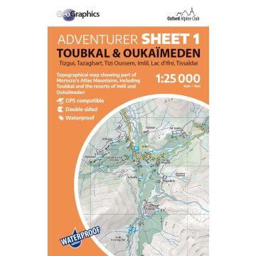
Tizgui, Tazaghart, Tizi Oussem, Imlil, Lac d'Ifni, Tissaldai
Waterproof 1:25.000 scale topographical map
Printed on ultra-tough, waterproof, tearproof PolyArt paper, this 1:25.000 Adventurer Map is perfect for mountaineers, climbers and trekkers exploring Morocco's High Atlas mountains.
This double-sided sheet covers the popular part of the Atlas Mountains around Imlil, including the summits of Toubkal, Tazaghart, Timesquida, Annrhemer and Adrar N’Dern, as well as the valley bases of Tizi Oussem, Imlil, Oukaïmeden and Tassaldai.
Fully updated for 2025, this is the clearest mapping ever created for this region and will be a superb resource for anyone looking to climb or walk in the mountains around Toubkal.
Gewicht:
65 g
Verlag:
Reihe:
Maßstab:
1:25.000
Medienart:
Karten
Sprache:
Englisch
EAN:
9781913167219
Erscheinungsjahr:
2025
Schreibe deine eigene Bewertung
Hersteller
Name:
Adresse:
E-Mail-Adresse:
Telefonnummer:
Verantwortlich für die EU
Name:
Adresse:
E-Mail-Adresse:
Telefonnummer:
Gefahrenhinweis:
Produktart: