Map of European Waterways 1:4.000.000
€ 25,00
inkl. MwSt.
lieferbar
Lieferung in 1 bis 4 Werktagen
Tags
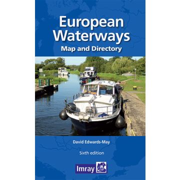
A map and directory designed as a first source of information when planning a trip on the waterways of Europe.
Double -sided. Side one- Europe from Ireland and Portugal to the Caspian Sea - dimensions 1210 x 870 mm. Scale 1:4 000 000- enlargement on reverse, with unprecedented detail, covering Dublin to Bratislava on the Danube scale 1:1 500 000. Includes a brief description of waterways in each country, followed by addresses of waterway authorities, boating associations etc.
The directory describes the waterway network country by country and provides a mass of information of value to all those who are interested in inland navigation as a mode of transport, but also, for a growing number of enthusiasts - a way of life. The two maps (front and back of the sheet) cover the same areas as the previous edition: from Ireland and Portugal to the Caspian Sea and, on the other side, a significantly enhanced map covering the denser part of the network, from Dublin to Bratislava on the Danube. The booklet accompanying the map includes many colour photos and larger-scale maps of particular areas.
The map has a legend in English, French, German and Dutch (booklet in English only)
Gewicht:
220 g
Autor:
Maßstab:
1:4.000.000
EAN:
9781786792440
Erscheinungsjahr:
2021
Kontinent: Europa
Kategorien: Nautik, Revierführer Binnen
Schreibe deine eigene Bewertung
Hersteller
Name: FB Imray Laurie Norie & Wilson GmbH
Adresse: Ölzeltgasse 3/10, 1030 Wien, Österreich
E-Mail-Adresse: office@freytagberndt.com
Telefonnummer:
Verantwortlich für die EU
Name:
Adresse:
E-Mail-Adresse:
Telefonnummer:
Gefahrenhinweis:
Produktart: