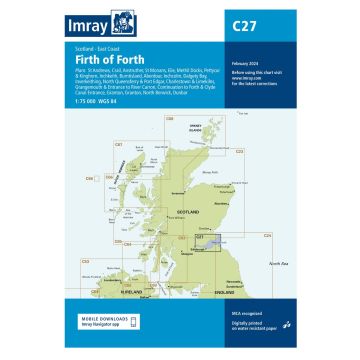
Scale: 1:75,000 WGS 84
Plans included:
St Andrews (1:7500)
Crail (1:7500)
Anstruther (1:7500)
St Monans (1:7500)
Elie (1:10 000)
Methil Docks (1:11 000)
Pettycur & Kinghorn (1:17 500)
Inchkeith (1:25 000)
Burntisland (1:20 000)
Aberdour (1:12 500)
Inchcolm (1:15 000)
Dalgety Bay (1:15 000)
Inverkeithing (1:15 000)
North Queensferry & Port Edgar (1:20 000)
Charlestown & Limekilns (1:15 000)
Grangemouth & Entrance to River Carron (1:17 500)
Continuation to Forth & Clyde Canal Entrance (1:17 500)
Granton (1:12 500)
Fisherrow (1:12 500)
North Berwick (1:7500)
Dunbar (1:7500)
On this edition the chart specification has been improved to show coloured light flashes. Depths have been updated from the latest surveys where available. Additional tidal stream data has been added. There has been general updating throughout.
Bei Bestellung über unseren Webshop kommen ausschließlich Endkundenpreise zur Anwendung und eine nachträgliche Korrektur ist leider nicht möglich.
Ihr Team von freytag & berndt