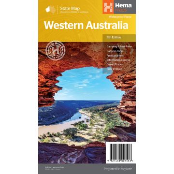
Hema State Map - Western Australia 1:2.500.000
Westaustralien
€ 15,90
inkl. MwSt.
derzeit nicht auf Lager
Lieferung in 6 bis 10 Wochen
Hema's updated WA State Map is comprised of the most detailed information, which has been verified by Hema Map Patrol. It is printed on waterproof paper and includes a full index of locations, making it durable and easy to use for both navigation and inspiration. On the reverse side of the maps are through road maps of Perth, plus inset maps of Leeuwin-Naturaliste National Park, Cape Range National Park, Nambung National Park, Francois Peron National Park, Purnululu National Park, Walpole-Nornalup National Park and Karijini National Park. Also included are information centres within Western Australia.
Gewicht:
65 g
Verlag:
Maßstab:
1:2.500.000
Medienart:
Karten
Sprache:
Englisch
EAN:
9321438001553
Erscheinungsjahr:
2019
Kategorien: Straßenkarten Australien - Ozeanien
Schreibe deine eigene Bewertung
Hersteller
Name:
Adresse:
E-Mail-Adresse:
Telefonnummer:
Verantwortlich für die EU
Name:
Adresse:
E-Mail-Adresse:
Telefonnummer:
Gefahrenhinweis:
Produktart: