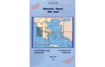
Eagle Ray Pilot Chart 12, North Dodecanese, Samos, Ikaria 1:165.000

€ 27,90
inkl. MwSt.
lagernd
Lieferung in 2 bis 4 Werktagen
Tags
Extract from: HNC 421, 422
Larger scale charts included in the back side
Scale: 1:165.000
Edition: 2020
No of edition: 3
Language: Greek and English
Dimensions (open): 100 x 70cm
- Pythagóreio harbour (Sámos)
- Vathý bay and harbour (Sámos)
- Évdilos and Ágios Kýrikos harbours (Ikaría)
- Bay of Korséon, channel and harbour of Foúrnoi
- Ágios Geórgios harbour (Agathonísi)
- Skála harbour (Pátmos)
- Bay and harbour of Leipsoí
- Bay and harbour of Lakkí (Léros)
- Póthia harbour (Kálymnos)
Gewicht:
130 g
Verlag:
Maßstab:
1:165.000
Medienart:
Seekarten - gefaltet
Sprache:
Englisch, Neugriechisch
EAN:
9789608974234
Höhe in mm:
340
Breite in mm:
240
Höhe in mm offen:
700
Breite in mm offen:
240
Erscheinungsjahr:
2020
Kontinent: Europa
Land: Griechenland
Schreibe deine eigene Bewertung
Hersteller
Name:
Adresse:
E-Mail-Adresse:
Telefonnummer:
Verantwortlich für die EU
Name:
Adresse:
E-Mail-Adresse:
Telefonnummer:
Gefahrenhinweis:
Produktart: