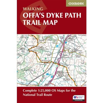
Trace the ancient boundary of Offa's Dyke Path, a 283km (177 mile) National Trail along Britain's longest ancient monument — the 8th-century earthwork separating England and Wales. The trail unfolds through diverse border landscapes, from the dramatic Wye Gorge and Tintern Abbey near Chepstow, across the remote Black Mountains and Hergest Ridge, to the industrial heritage of the Clwydian Range and the seaside finish at Prestatyn.
This trail map charts the Offa's Dyke Path from south to north and offers walkers of all abilities the chance to explore limestone gorges, mountain ridges, and borderland heritage over 12–14 days. Providing precise route-line mapping, it ensures you can follow Offa's ancient frontier with total confidence.
1:25,000 OS trail map with Ordnance Survey Explorer map legend
Shows the full 177-mile (283km) route of the Offa's Dyke Path
Route divided into 12 clearly defined stages of 17–29km (11–18 miles) with route stats for walking the trail in either direction
Downloadable GPX files for easy navigation using GPS devices or smartphone apps
Available with the Cicerone guidebook
Offa's Dyke Path
or as a separate, standalone purchase
With expert guidance from author Mike Dunn, discover the timeless allure of Britain's borderlands, where every ridge reveals panoramic views, ancient history, and the quiet satisfaction of completing one of the National Trails.
Gefahrenhinweis: Dieser Hinweis kann lt. Artikel 9 Absatz 7 Satz 2 der GPSR entfallen, da das Produkt auch ohne Anweisungen und Sicherheitsinformationen sicher und wie vom Hersteller vorgesehen verwendet werden kann.
Produktart:
Noch keine Herstellerangaben und Sicherheitshinweise verfügbar.
Sind Sie Wiederverkäufer?
Falls Sie Wiederverkäufer sind bestellen Sie bitte direkt über unsere Auslieferung damit wir ihre Konditionen berücksichtigen können:
Bei Bestellung über unseren Webshop kommen ausschließlich Endkundenpreise zur Anwendung und eine nachträgliche Korrektur ist leider nicht möglich.
Ihr Team von freytag & berndt