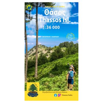
Hiking map of Thasos island in a scale of 1:36.000
Thasos island is gifted with natural resources and natural beauty. Forests, mineral wealth, marblesand more recently beaches attracted over time people with basic motive the exploitation of its natural wealth. The scars on the landscape are numerous: ancient mining tunnels and holes, ancienttowers guarding the coast, mining remnants of the last century, modern quarries, coastal touristsettlements. With this map that was made with the support and collaboration of the Environmental Association of Thassos we propose a new approach to the island, as sightseersand hikers to discover routes in magnificent forests, cool waterfalls and ravines, swim in naturalmarble pools, visit picturesque villages of the hinterland, to appreciate all that nature gives generously.
On the reverse side of the map, a detailed presentation of space and routes with beautiful photographs and simple texts.
Bei Bestellung über unseren Webshop kommen ausschließlich Endkundenpreise zur Anwendung und eine nachträgliche Korrektur ist leider nicht möglich.
Ihr Team von freytag & berndt