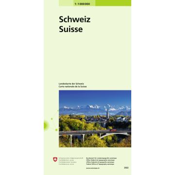
Landeskarte der Schweiz 1:1 000 000
Carte nationale de la Suisse 1:1 000 000
€12.68
incl. VAT
deliverable
Delivery in 3 to 6 business days
Tags
Explore Switzerland and its neighbours from Lyon to Salzburg and from Strasbourg to Genoa on a handy topographical overview map.
- Clear representation of the structure of the terrain thanks to distinctive relief.
- Images of glaciers.
- General view of the most important transport axes.
- Selection of the most important conurbations.
- Switzerland and its nearest neighbours conveniently on one page.
- Two overview maps with countries, cantons, and other administrative bodies marked.
- Available in folded and unfolded versions.
Weight:
52 g
Publisher:
Series:
Scale:
1:1.000.000
Product Type:
Maps
Language:
French, German, Italian
EAN:
9783302000817
hoehe_mm:
190
breite_mm:
130
Year of publication:
2023
Continent: Europe
State / Province: Graubünden, Tyrol, Vorarlberg, Ticino, Valais, Salzburg, Baden-Württemberg, Alsace, Aosta Valley, Canton of Bern, Basel City, Canton of Zurich, Piedmont, Auvergne-Rhône-Alpes, Lombardy, Liguria
Region: Zürichsee, Sundgau, Glarner Alpen, Schweizer Jura, Lake Constance, Walliser Alpen, Liechtenstein, Hochrhein, Berner Alpen, Jura, Schweizer Mittelland, Aare
Places / Mountains / Lakes: Bregenz, Strasbourg, Zermatt, Innsbruck, Lyon, Salzburg, Zurich, Chur, Bellinzona, Domodossola, Basel, Bern, Winterthur
Write Your Own Review
Manufacturer
Name: Bundesamt für Landestopografie, swisstopo
Address: Seftigenstrasse 264, 3084 Wabern, Schweiz
Email: mapsales@swisstopo.ch
Phone: 41,584,690,111
Responsible for the EU
Name: Freytag-Berndt und Artaria KG
Address: Oelzeltgasse 3/10, 1030 Wien
Email: office@freytagberndt.com
Phone: +43 (1) 869 90 90
Hazard warning:
Product Type: