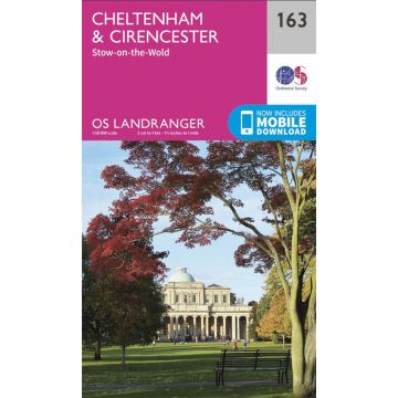
OS Landranger Map 163, Cheltenham & Cirencester 1:50.000
England
Tags
The Landranger map of Cheltenham and Cirencester, including Stow-on-the-wold. Landranger maps are perfect for extensive hikes, cycling, and driving holidays.
Ideal for planning days out or holidays to the area, including The Cotswold Way, Thames Path, and the E2 European Long Distance Path. Take a stroll and soak in this Area of Outstanding Natural Beauty. Other highlights of this map include: Cheltenham (named the cultural centre for the Cotswolds; a historic town sporting a vast array of gardens, shops, and events), Cirencester and stow-on-the-wold.
Our Landranger maps come in standard or Weatherproof Active, you'll also receive a free download for your devices — making for a convenient companion.
Verlag:
Reihe:
Maßstab:
1:50.000
Medienart:
Karten
Sprache:
Englisch
EAN:
9780319262610
Erscheinungsjahr:
2016