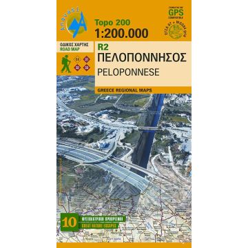
Anavasi R2 Topo 200 Map Peloponnese/Peloponnes 1:200.000
Tags
Greece Regional Maps
The new edition of the map of the Peloponnesus comes with many improvements. The larger scale makes it much more readable and reveals the detailed information of the map:
Extensive road and settlements network. Plenty of archaeological sites published for the first time on a map. Beaches, camping, marinas, mountain refuges and the course of the E4 and the major national paths 31, 32 and 33.
ISBN: 978-960-8195-639
Weight:
86 g
Publisher:
Series:
Scale:
1:200.000
Product Type:
Maps
Language:
English, French, German, Modern Greek
EAN:
9789608195639
Categories: Road Maps, Road Maps Greece


