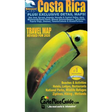
Toucan Maps Straßenkarte Costa Rica 1:470.000
Wasserfeste Karte
Tags
Waterproof and rugged road and travel map of Costa Rica including zoomed detail maps of Arenal, Monteverde, Manuel Antonio and over a dozen other popular destinations. There are hundreds of improvements and updates for the new tenth anniversary edition.
Roads are clearly differentiated by color and line width for classes from limited access divided highways down to 4WD seasonal tracks - improved and even easier to see the main route to your destination at a glance.
Locations and easy to read indexes are included for cities and towns, National Parks and other natural areas, beaches, rivers, peaks, volcanoes, waterfalls and the best hotels, lodges, resorts, restaurants and activities.
Weight:
105 g
Publisher:
Scale:
1:470.000
Product Type:
Maps
Language:
English
EAN:
9780976373360
Year of publication:
2020
Categories: Road Maps North and Central America