Anavasi Topo Island Map 10.21, Ándros 1:27.000
Kykladen

Tags
Hiking, road and bicycle map
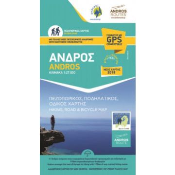
The new hiking map of Andros was issued in cooperation with the local society Andros Routes It is a road, hiking and cycling map printed on waterproof and rip proof paper and includes. Legend in 4 languages, Greek, English, German, French, updates on the road network, many new hiking routes and a full legend of the hiking routes along way marking and sign posting. Andros is a large island (374 sq km or 147 sq miles), mountainous, with rich vegetation in several parts of the island and abundant running water, as testified by more than 150 watermills. Chora, the main settlement of Andros, has many neoclassical houses, an interesting archaeological museum, and a particularly active museum of modern art that hosts interesting exhibitions every year.
ISBN: 978-960-8195-745
Verlag:
Reihe:
Maßstab:
1:27.000
Medienart:
Karten
Sprache:
Deutsch, Englisch, Französisch, Italienisch, Neugriechisch
EAN:
9789608195745
Erscheinungsjahr:
2019