Anavasi Topo 10 Map 1.2, Northern & Southern Imitós/Hymettos 1:10.000
Attika

Tags
Hiking & MTB Trails on the northern and southern Mt. Hymettus
Wander- und MTB-Wege am nördlichen und südlichen Hymettos
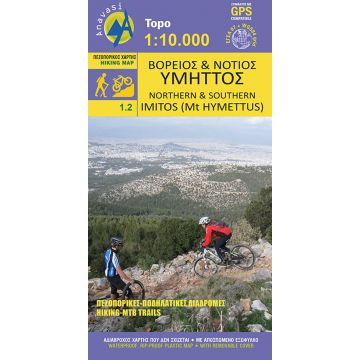
The new hiking map of Mt Imitos in a scale of 1:10 000 covers the whole mountain. It is a combination of two maps in a folder: the map of the Northern Imitos covering the area of Agia Paraskevi to Ilioupoli and map of Southern Imitos extending between Ilioupoli, Argyroupoli, Glyfada, Voula and Koropi.
Hiking and cycling routes are suggested and shown in detail. The mountain s points of interest such as caves, sinkholes and archaeological sites are pinpointed on the map.
The map is printed on waterproof "polyart" paper.
Verlag:
Reihe:
Maßstab:
1:10.000
Medienart:
Karten
Sprache:
Deutsch, Englisch, Französisch, Neugriechisch
EAN:
9789609412520
Erscheinungsjahr:
2019