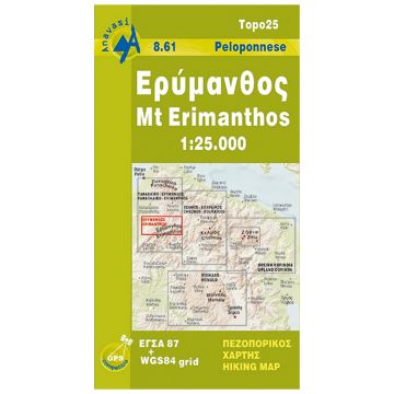
Anavasi Topo 25 Map 8.61, Mt. Erímanthos 1:25.000
Peloponnes

Tags
Mt Erymanthos in a series of waterproof and tear-resistant hiking maps at scales varying from 1:50,000 to 1:10,000, with a UTM grid for GPS users. Contour interval varies depending on the scale, on most maps it is 20m. Relief shading, spot heights, springs, seasonal streams and, in most titles, landscape/land-use variations, e.g. forests, orchards, or vineyards provide additional information on the terrain. Place names are given in both Greek and Latin script.
Local footpaths, hostels and mountain huts are clearly marked. For road users intermediate driving distances and petrol stations are shown. Symbols highlight places of interest, including archaeological sites, churches and monasteries, etc. The maps have a UTM grid and margin ticks for latitude and longitude. Map legend includes English.
*In this title:* an area approx. 20km east-west by 11km north-south, centred on the Erymanthos ridge. The map extends west to the villages Aghios Dhimitrios, Velimachi and Kalendzi, eastwards to Trechlo, Manesi and Bouboukas, northwards to Neo Khombighadhi, and south to Platanitsa. On the reverse is a simplified version of the same map without the topographic detail, simply highlighting roads and hiking routes, with useful annotations for hikers.
Verlag:
Reihe:
Maßstab:
1:25.000
Medienart:
Karten
Sprache:
Deutsch, Englisch, Französisch, Neugriechisch
EAN:
9789608195684
Erscheinungsjahr:
2005