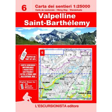
Escursionista-Karte 6, Valpelline, Saint-Barthélemy 1:25.000
Aostatal

Tags
Valpelline, Valle di Bionaz e alta Valle di Saint-Barthélemy hiking map at a 1:25.000 scale with a WGS84 grid (1km). All data has been gathered by walking each route with a GPS device, printed on support extra strong and waterproof.
72 page guide-book which includes 3 long-distance hikes: Between Valtournenche and Saint-Barthélemy, The tour of the bivouacs, The tour of the Luseney. Including a list of itineraries, trail-markers and durations.
- Size/Maße: 11x16 (guide-book) 70x100 printed on both sides (map)
- Number of pages of the booklet/Seitenzahl des Beiheft: 72
- Photo: Black & white
- Code: ESC06
Verlag:
Maßstab:
1:25.000
Medienart:
Karten
Sprache:
Deutsch, Englisch, Französisch, Italienisch
EAN:
9788898520800
Seiten:
72
Erscheinungsjahr:
2021
Kontinent: Europa
Orte / Berge / Seen: Dent d'Hérens, Mont Gelé, Chanrion, Bionaz, Lac de Mauvoisin, Oyace, Torgnon, Pic de Luseney, Lac de Tsignanaz, St-Barthélemy