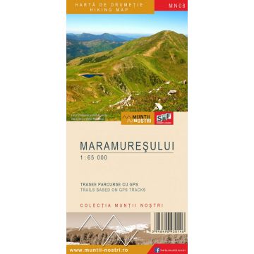
Wanderkarte MN-08, Maramureșului 1:25.000
Maramuresch

Tags
The Maramures Mountains (also known as the Woody Carpathians, name that has lately been mistakenly attributed only to the northern part of the mountains) are a mountain group of the Maramures and Bucovina Carpathians, which belong to the Eastern Carpathians. They mostly stretch on the territory of today’s Ukraine to the north, and to the south, on the northern territory of Romania. They close Maramures Depression to the north and to the east.
The Maramures Mountains (the highest mountains located at the northern border of the country, with a maximum elevation of 1,957 m above sea level – Farcau Peak) lie in the northern part of the Eastern Carpathians, bordered to the east by Bukovina, to the south by Rodna Mountains and Maramures Depression, and in the north by Rakhiv Mountains from Ukraine.
Maramures Mountains Nature Park is a protected area of national interest corresponding to the fifth category of the International Union for Conservation of Nature - IUCN (protected landscape), designated to protect biodiversity and maintain a favorable conservation status of wild flora and fauna, as well as of natural habitats found in the park area. It is located in the northeastern part of Maramures County, on the administrative territory of Borsa and Viseu de Sus towns, and that of Poienile de sub Munte, Repedea, Petrova, Bistra, Moisei and Viseu de Jos villages.
The park includes four nature reserves of national interest, corresponding to IUCN category IV, as follows:
Farcau Peak - Vinderelu Lake - Mihailecu Peak - geological nature reserve, flora reserve and protected landscape area with rare flora, such as: bog bilberry (Vaccinium uliginosum), edelweiss (Leontopodium alpinum), hare's-tail cottongrass (Eriophorum vaginatum L.) or mouse-ear hawkweed (Hieracium pilosella).
Cornu Nedeii - Ciungii Balasanii - fauna reserve established to protect the black grouse, a large bird in the pheasant family.
Tomnatec - Sehleanu Daffodil Meadow - flora reserve and protected landscape area created to protect a community of daffodil species Narcissus radiiflorus that grown at an elevation of 1,600 m, on the right slope of Tomnatec Peak (1,618 m).
Salhoi - Zambroslavele Cliffs - protected geological, botanical and landscape area, where a plant species known to the locals as the ‘lingurea’ (scurvy grass) (Cochelaria pyrineaca var. Borzaeana) grows.
The map of Maramures Mountains (MN08) is the 8th map of the new Muntii Nostri collection.
The map was edited using the latest mapping techniques and it was printed on moisture resistant paper. It is easy to read and simple to use due to the mapping styles, specific to Schubert & Franzke company, and as a result of practical information structuring. It is handy and everything is exactly where it should be. The map is useful for both hiking enthusiasts and professionals.
All the trails have been recorded in the field using a GPS. They are described in detail in both Romanian and English, some trails having representative images attached to them. Each trail has a technical box containing: trail marking checked in the field, trail route, profile with major landmarks, data on difficulty, length, total ascent, total descent, round-trip time, practicability depending on the season and so on. The map also contains the UTM grid, a projected coordinate metric system useful in the quick measurement of distances on the map. Shading and contour lines highlight the landscape and facilitate orientation.
Reihe:
Maßstab:
1:65.000
Medienart:
Karten
Sprache:
Englisch, Rumänisch
EAN:
5948490930405
Erscheinungsjahr:
2019
Kontinent: Europa
Orte / Berge / Seen: Prislop-Pass, Vârful Pietrosul, Vi?eu de Sus, Moisei, Dragomire?ti, Petrova, Ruscova, Repedea, Sacel, Leordina, Dilove, Perkalab, Bora