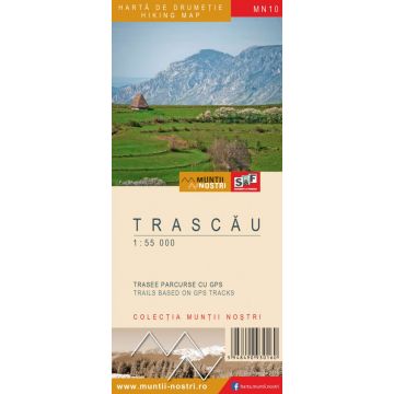
Wanderkarte MN-10, Trascău 1:55.000
Siebenbürgen

Tags
The Trascau Mountains are a subunit of the Apuseni Mountains, which are part of the Western Carpathians. The mountain has a northeast - southwest orientation and it is about 75 km long.
The mountains are bordered by Tureni Valley to the north and Ampoi Valley to the south. Unlike the eastern border represented by Alba Iulia-Turda Corridor and Aiud Hills, the western border is less clear and it somehow merges with that of the Metaliferi (Ore) Mountains and Muntele Mare (Big) Mountain.
In terms of geology, the Trascau Mountains are made up of very diverse rocks, but the most obvious and representative is the limestone.
Karst topography is represented by beautiful gorge sectors: Turda, Ramet, Intregalde, Valisoara, Tureni, Cetea, Ampoita, Plaiul, Galda, etc.; karst plateaus: Coltii Trascaului-Piatra Secuiului, Bedeleu, Ramet, Ciumerna; knife-like ridges and isolated massifs: Piatra Cetii Rock, Piatra Craivii Rock, Pleasa Rametului, Piatra Grohotisului Rock, etc.; caves: Huda lui Papara, Poarta Zmeilor (Dragon Gate), Bisericuta (The church), etc.; and spectacular canyons: Aries (between Salciua de Jos and Moldovenesti), Hasdate, Tureni, Rachis, etc.
The highest peak is Dambau Peak, 1,369 m, located in the southern part of the mountains. Despite their low elevation compared to other mountains in the Romanian Carpathians, the Trascau Mountains are extremely spectacular due to both the limestone landscape and the old and isolated rural settlements, real outdoor museums. Those who dare to visit these places have a fairly extensive choice of marked tourist trails.
The map of Trascaului Mountains MN10 is the 10th map of the new Muntii Nostri collection.
The map was edited using the latest mapping techniques and it was printed on moisture resistant paper. It is easy to read and simple to use due to the mapping styles, specific to Schubert & Franzke company, and as a result of practical information structuring. It is handy and everything is exactly where it should be. The map is useful for both hiking enthusiasts and professionals.
All the trails have been recorded in the field using a GPS. They are described in detail in both Romanian and English, some trails having representative images attached to them. Each trail has a technical box containing: trail marking checked in the field, trail route, profile with major landmarks, data on difficulty, length, total ascent, total descent, round-trip time, practicability depending on the season and so on. The map also contains the UTM grid, a projected coordinate metric system useful in the quick measurement of distances on the map. Shading and contour lines highlight the landscape and facilitate orientation.
Reihe:
Maßstab:
1:55.000
Medienart:
Karten
Sprache:
Englisch, Rumänisch
EAN:
5948490930160
Erscheinungsjahr:
2016
Kontinent: Europa
Land: Rumänien
Orte / Berge / Seen: Alba Iulia, Zlatna, Ponor, Rimetea, Turda, Aiud, Cheile Turzii, Ocoli?, Sandule?ti