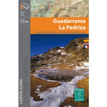
Editorial Alpina Kartenset E-25, Guadarrama, La Pedriza 1:25.000
nördlich von Madrid

Tags
- Map Languages: Spanish, French, English
- Two hiking maps
- Scale 1:25.000
- Equidistance contours: 10 m distance
- Master contours: at 50 m
- Shady relief
- Compatible with GPS
- Marked routes
- Land use symbolized at three levels
- UTM Grid with divisions of 1 km
Weight:
151 g
Publisher:
Series:
Scale:
1:25.000
Product Type:
Maps
Language:
English, French, Spanish
EAN:
9788480905664
Year of publication:
2018

