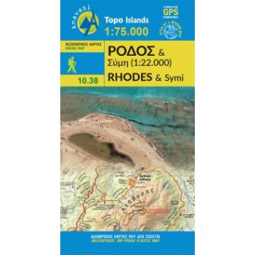
Anavasi Topo Island Map 10.38, Rhodes/Ródos/Rhodos 1:75.000
Dodekanes

Tags
Rich in natural and cultural heritage, Rhodes reveals all its wealth in this new map of Anavasi. From the medieval city in the north to the exotic Prasonisi island in the southern tip, one can find ancient cities, castles of the Knights, early christian basilicas, elegant italian buildings of the 30s, magnificent beaches and hiking paths presented in details on the side of the map. On the back side there is a detailed plan of the medieval city, the main attractions depicted with aerial photos, and a detailed map of Symi.
ISBN: 978-960-9412-162
Griechische Wanderkarte zur Ägäis-Insel Rhodos, Höhenschichtlinien 100m, UTM, GPS, wasser- und reißfest;
Griechische Wanderkarte zur Ägäis-Insel Rhodos, Höhenschichtlinien 100m, UTM, GPS, wasser- und reißfest;
Wanderkarte + Mini Guide, Legende auf Griechisch, Englisch, Französisch, Deutsch, Italienisch, Russisch.
Author:
Publisher:
Series:
Scale:
1:75.000/1:22.000
Product Type:
Maps
Language:
English, French, German, Italian, Modern Greek, Russian
EAN:
9789609412162
Year of publication:
2019
Continent: Europe
Country: Greece
Places / Mountains / Lakes: Attáviros, Rhodes City, Gialós, Kap Prasonísi, Soroní, Faliraki, Lindos, Symi