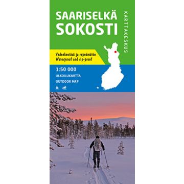
Karttakeskus Outdoor Map Saariselkä, Sokosti 1:50.000
Lappland

Tags
Waterproof map of Urho Kekkonen National Park
The updated outdoor map Saariselkä Sokosti 1:50 000 is printed on durable synthetic material. The waterproof Finnish outdoor maps can be identified by the yellow marking on the cover.
The double-sided map covers all the fell areas of the northern part of Urho Kekkonen National Park, which are particularly popular among wilderness hikers. The local routes of the Saariselkä tourist centre and Sompio Strict Nature Reserve are also included.
The material of the map is fully waterproof and can withstand almost limitless folding, and it will not rip in normal map use. The features are also retained during frost and heat. The map has a pleasant feel and is lighter than if printed on paper.
In addition to terrain details, e.g. huts, routes and other hiking services, as well as dining and accommodation services, have been marked on the map. The map includes ten attractions or experiences in the area, which have been described in a few sentences at the edge of the map in Finnish and English. At the edge of the map, you can also find all the hut coordinates in the area as well as information about the declinations. The scale of the map is best suited for Finnish fell terrain 1:50 000 (1cm on the map = 500m of terrain).
ISBN: 978-952-266-583-6
Publisher:
Scale:
1:50.000
Product Type:
Maps
Language:
English, Finnish, German, Russian, Swedish
EAN:
9789522665836
Year of publication:
2019
Continent: Europe
Region: Lappland, Finnisch-Lappland
Places / Mountains / Lakes: Saariselkä, Sokosti