4Land Wander- & MTB-Karte 181, Seiser Alm, Rosengarten, Latemar 1:25.000
Naturpark Schlern - Parco Naturale dello Sciliar Rittner Hochfläche – Altopiano del Renon

Tags
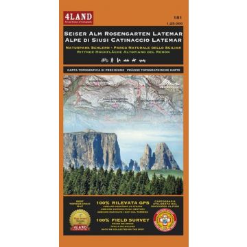
4LAND Map N. 181. The most detailed and updated map of the Latemar, Rosengarten and Seiser Alm in the heart of the Dolomites. It includes the Naturpark Schlern and the famous Sanctuary of Maria Weissenstein. All trails, roads and points of interest were recorded in the field using GPS devices. Reference map for Trentino Mountain Rescue. It is designed for both, mountainbikers and hikers. It is printed on Polyart, a waterproof, tearproof and reclyble material. The map is printed on both sides.
Map Scale: 1:25.000.
Publisher:
Series:
Scale:
1:25.000
Product Type:
Maps
Language:
English, German, Italian
EAN:
9788889823569
Year of publication:
2015
Continent: Europe
Country: Italy
State / Province: South Tyrol, Trentino
Places / Mountains / Lakes: Seiser Alm, Rosengarten, Latemar, Karersee, Schlern, Passo di Lavazè, Eggental, Deutschnofen, Tiers, Kastelruth, St. Ulrich

