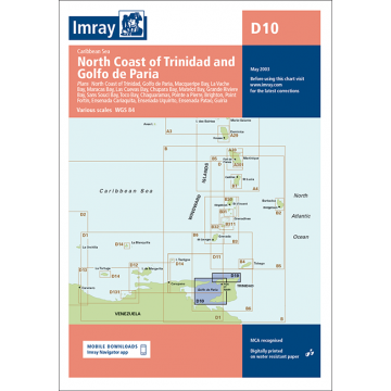
Imray Seekarte D10 - North Coast of Trinidad and Golfo de Paria 1:145.000 / 1:234.000
Karibik / Venezuela

Tags
Imray-Iolaire charts for Caribbean are widely acknowledged as the best available for the cruising sailor. They combine the latest official survey data with first-hand information gathered over 60 years of research by Don Street Jr and his wide network of contributors. Like all Imray charts, they are printed on water resistant Pretex paper for durability, and they include many anchorages, facilities and inlets not included on official charts.
North Coast of Trinidad 1:145,000
Golfo de Paria 1:234,000
Plans include:
Macqueripe Bay
La Vache Bay
Maracas Bay
Las Cuevas Bay
Chupara Bay
Matelot Bay
Grande Riviere Bay
Sans Souci Bay
Toco Bay
Pointe a Pierre
Brighton
Point Fortin
Ensenada Cariaquita
Ensenada Uquirito
Ensenada Patao
Guiria
Author:
Publisher:
Series:
Scale:
1:145.000
Product Type:
Seekarten - gefaltet
EAN:
9780852887127
Year of publication:
2003