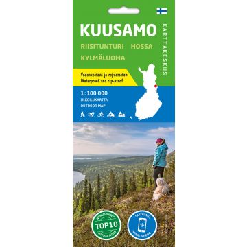
Karttakeskus Outdoor Map Kuusamo 1:100.000
Nordost-Finnland

Tags
The waterproof outdoor map covers the town of Kuusamo and its vicinity. The scale of the map is 1:100,000 (1 cm on the map = 1 km on the ground).
The double-sided map covers a wide area on one sheet including the resort of Ruka, the centre of Kuusamo town, the national parks of Oulanka, Hossa and Riisitunturi as well as the hiking area of Kylmäluoma. The most well-known hiking trail in the area is the Karhunkierros Trail. The map can be used for trekking and travelling. It shows hiking trails, snowmobile routes, kayak and canoe routes, white-water routes and cycling trails.
The map is based on a topographic map of the National Land Survey of Finland and has plenty of extra information for hikers and travellers, such as various trails and their lengths, wilderness huts, lean-to shelters, eating places, accommodations and sights.
On the side of the map you will find coordinates for all the wilderness huts managed by Metsähallitus to help locate them with a GPS device. Details on magnetic declination and the coordinate system are also included.
Publisher:
Scale:
1:100.000
Product Type:
Maps
Language:
English, Finnish, German, Russian, Swedish
EAN:
9789522666765
Year of publication:
2021

