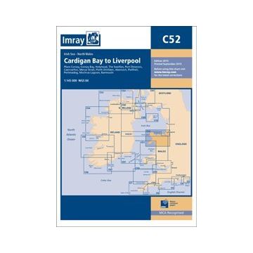
Imray Seekarte C52 - Cardigan Bay to Liverpool 1:145.000
England

Tags
Plans included: Conwy (1:30 000) Conwy Bay (1:60 000) Holyhead (1:25 000) The Swellies (1:15 000) Port Dinorwic (1:15 000) Caernarfon (1:15 000) Menai Strait (1:60 000) Porth Dinlläen (1:17 500) Abersoch (1:15 000) Pwllheli (1:15 000) Porthmadog (1:10 000) Mochras Lagoon (1:15 000) Barmouth (1:30 000) On this 2015 edition the chart has been fully updated throughout including revised depths at Holyhead Harbour and off The Skerries. Revised buoyage in the entrance to Barmouth and Caernarfon Bar are also shown.
Publisher:
Series:
Scale:
1:145.000
Product Type:
Seekarten - gefaltet
EAN:
9781846237119
Year of publication:
2016
Categories: Nautical Charts Britain