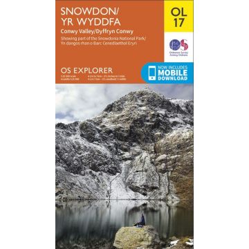
OS Leisure Explorer Map OL 17, Snowdon/Yr Wddfa 1:25.000
höchster Berg von Wales

Tags
Explore Snowdon with ease and marvel at the beautiful sceneries of Northern Snowdonia. Our OS explorer range is in 1:25 000 scale, meaning 4cm is 1km (2½ inches is 1 mile). This map covers Northern Snowdonia in both English & Welsh. It contains key information so you can immerse yourself among the beautiful valleys and discover the majestic mountainside. It has six routes to the summit, providing lots of options to explore the largest mountain in Wales.
All our Explorer maps come with a free mobile download, making for a convenient companion.
Publisher:
Series:
Scale:
1:25.000
Product Type:
Maps
Language:
English
EAN:
9780319263532
Year of publication:
2019
Continent: Europe
Country: United Kingdom (Great Britain)
State / Province: Wales
Places / Mountains / Lakes: Conwy, Snowdon, Caernarfon, Betws-y-Coed, Llandudno, Beddgelert, Penmaenmawr, Conwy Valley

