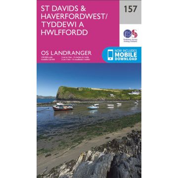
OS Landranger Map 157, St Davids & Haverfordwest 1:50.000
Wales

Tags
The Landranger map of St Davids & Haverfordwest is a must-have for your next trip to the area. Landranger maps are perfect for extensive hikes, cycling, and driving holidays.
Ideal for planning days out or holidays, a strong feature of this map is the Pembrokeshire Coast Path that follows the iconic coastline around the headland and St Brides Bay, passing through the traditional Welsh towns of Pembroke, Milford haven, Haverfordwest, St. Davids, and Goodwick. Other places of interest on this map include St. Davids Cathedral, the stunning Whitesands Bay, Ramsey, Skokholm, and Skomer Islands.
Our Landranger maps come in standard or Weatherproof Active, you'll also receive a free download for your devices — making for a convenient companion.
Publisher:
Series:
Scale:
1:50.000
Product Type:
Maps
Language:
English
EAN:
9780319262559
Year of publication:
2016