IGN Carte 2447 OT, Tuchan, Massif des Corbières 1:25.000
Languedoc

Tags
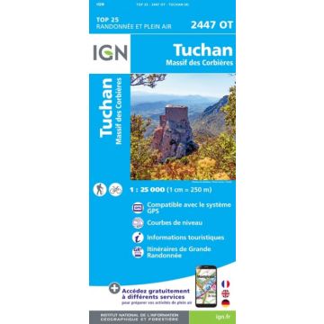
L'indispensable carte de randonnée ! Ces cartes topographiques d'une très grande précision contiennent tous les détails existants sur le terrain, les sentiers balisés et des informations touristiques. Sans oublier la représentation du relief par des courbes de niveau.
Publisher:
Series:
Scale:
1:25.000
Product Type:
Maps
Language:
English, French, German
EAN:
9782758546481
Year of publication:
2019