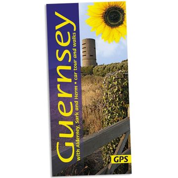
Sunflower Landscapes Guernsey with Alderney, Sark and Herm - car tuors and walks
Kanalinseln (ENG)

Tags
All the walks have been rechecked for this Sixth edition of Sunflower’s guide to Guernsey, Alderney and Sark. The maps have all been redrawn using Openstreet mapping with reference to GPS tracking, and free downloadable GPS tracks are now available for all the walks in the guide.
An ideal introduction for the first-time visitor, this book also provides new ideas for those who come year after year. Apart from marvellous coastal scenery that’s been compared to that of Cornwall and Brittany, there is much to explore of the island’s past. For example, you could follow some of Guernsey’s ‘green lanes’ and ‘water lanes’ — centuries-old paths once used by pack-horses and donkeys, or follow a route that takes in the relics of prehistoric burial grounds as well as remnants of the German Occupation during World War II. Guernsey cliff walks, with steep climbs and lots of steps, are quite challenging, but elsewhere walking in Guernsey is very easy — the terrain is almost flat and ideal for the casual stroller.
Area covered: all of Guernsey, plus the nearby islands of Alderney, Sark and Herm
Best time to walk is in the spring, especially April/May when the spring flowers are out. But walking is enjoyable through to October, and even in the winter months if you don’t mind showers and bracing breezes.
1 car tour, 16 walks, 12 picnic suggestions for Guernsey; 2 walks and 2 picnic suggestions each for Alderney, Sark and Herm
64 pages + touring map; plan of St Peter Port; extremely clear, newly drawn 1:25,000 walking maps based on Openstreet Mapping covering most of Guernsey and all of Alderney, Sark and Herm.
6th ed, 2018; ISBN 978-1-85691-511-3.
Publisher:
Series:
Product Type:
Books
Language:
English
EAN:
9781856915113
Continent: Europe
Country: United Kingdom (Great Britain)
State / Province: Guernsey
Region: Guernsey, Kanalinseln
Categories: Hiking Guides