Imray Seekarte C80 - British Isles 1:1.500.000
Waterproof. Folded in plastic wallet or flat.

Tags
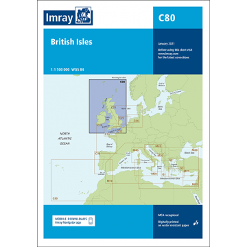
On this edition the magnetic variation curves have been updated with 2020 data. Under new royalty terms, the DGA (Danish Geodata Agency) have made it unviable to reproduce their copyrighted data. All DGA data has been removed from this chart. There has been general updating throughout.
Publisher:
Scale:
1:1.500.000
Product Type:
Seekarten - gefaltet
Language:
English
EAN:
9781786792501
Year of publication:
2021
Continent: Europe
State / Province: Northern Ireland, Faroes, Wales, Isle of Man, Scotland, Nord-Pas-de-Calais, England